
If you have looked into telling your estate's stories digitally, you have probably run into two very different things, both called "story maps." One is a way to publish an article. The other is a way to change how guests move through your grounds. It is worth knowing which is which before you spend time on either.
Story maps vs ArcGIS StoryMaps
The best known "story map" is ArcGIS StoryMaps, the web-authoring tool made by the mapping company Esri. It is a genuinely good product, widely used by museums, universities and newsrooms to build scrolling, multimedia articles arranged around a map. You read one at a screen, scrolling from top to bottom, wherever you happen to be. Publishing with it means an Esri account and a little map-building.
A Bramble story map is a different thing for a different job. It is not something a guest reads at a desk. It lives on the grounds themselves: the guest opens it by scanning a QR code, walks the estate, and each story unlocks by GPS as they reach the spot it belongs to. No account, no app, no download, no scrolling through a page. The landscape is the interface, and the stories find the guest rather than the other way around.
| ArcGIS StoryMaps | A Bramble story map | |
|---|---|---|
| Where you experience it | At a screen, anywhere | On the grounds, as you walk |
| How stories appear | You scroll the page | GPS unlocks them where you stand |
| Built for | Reports, exhibitions, journalism | Guests exploring an estate on foot |
| What the guest needs | A browser | A phone and a QR code, nothing installed |
| Best on | A laptop or a sofa | A phone, outdoors, on the move |
What each one is best at
ArcGIS StoryMaps is the right tool when the finished thing is meant to be read on a screen: a history of the estate for your website, a conservation report with interactive maps, an online exhibition, a piece of place-based journalism. It is powerful, free to start, and built for authors who want to weave text, imagery and cartography into one scrolling narrative. What it is not built for is the guest standing in your walled garden with a phone in their hand, wondering what they are looking at.
A Bramble story map is built for exactly that moment. It assumes the reader is on their feet, outdoors, and moving. The stories are short, tied to a place, and triggered by being there. There is nothing to download and no account to create, because a guest on a two-night stay will not install anything. It runs in the phone's browser, and it can be made to keep working even where the signal is poor. It is not for publishing an article. It is for turning a walk across your grounds into an experience.
Which is right for your estate?
They solve different problems, and some estates will happily use both. A rough guide:
- You want something people read online, at home or at a desk. That is ArcGIS StoryMaps, or a well-built page on your own website.
- You want guests to discover stories as they walk the grounds, without an app. That is a Bramble story map, or a tool like it.
- You want both a public online story and an on-the-ground experience. Use each for what it does best. They do not compete.
What the on-the-ground version actually changes
The reason the on-location kind matters is simple: most guests see only a fraction of an estate. They walk the main path, reach the nearest view, and turn back, because nothing invited them further. A dot on a printed map does not give anyone a reason to walk twenty minutes across a field. A label reading "Kitchen Garden" informs. It does not invite.
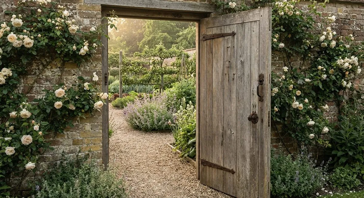
A story does. When a guest steps through the doorway of the walled garden and their phone tells them that peaches and figs have grown behind that brick since 1867, the wall stops being a wall. The ice house, the medieval fishpond under a grassy mound, the oak planted the year the house was built: each is invisible until a story unlocks it, and then the whole landscape becomes legible. That is the difference between a stay and an experience, and it is the difference a location-triggered story map is built to make.
ArcGIS StoryMaps helps you tell your estate's story to the world. A Bramble story map helps your guests live it while they are standing in it. Different jobs, and worth not confusing.